I dropped down a gravel road from the western scarp wall of Hart Mountain, a gigantic fault block mountain that, like a keep with retaining walls 3,600 feet in height, dominates the surrounding terrain of Warner Valley. The road almost in freefall.. These cliffs impose heavy shadows upon the floor of Warner Valley near the town of Plush.
Doherty Slide walls me in on one side. The Slide, named for the prominent talus that buries an eroded lava rim, buttresses a plateau. A range of mountains sits on the tableland. The head of a wandering defile opens in those mountains, and the canyon splits the roof of the plateau in incised fissures before emptying itself dry into Guano Valley like a river mouth.
Lake Abert, a yawning alkali basin, features now as a glass sheet measured in miles beneath a towering fault scarp of the same name. The Abert Rim winds for miles. The lake a looking glass to the sky, last night’s rain indwelling in its shallow embrace. Dune-like fells, the Coglan Buttes, drop into the basin from the western shore. The Abert Rim rises 2,500 feet above the playa, drawing an inland Pacific Coast, with sheer basalt capping the talus.
The lake pinches out into white-boned flats after about 15 miles. The immaculate broads of the lake bed, 7 miles wide at their maximal extent, churn from desert ochre to a patchy, mantis toward the north end. And the highlands change from pined green to borax white in just a few miles.
The Abert Rim stands as one of the highest exposed fault scarps in America and also the longest at 30 wending miles. The cliffs end at Alkali Lake far north of Lake Abert. From here, you’ll drive through some of the most emptied terrain in any of the lower 48. Bring water. Have gas.
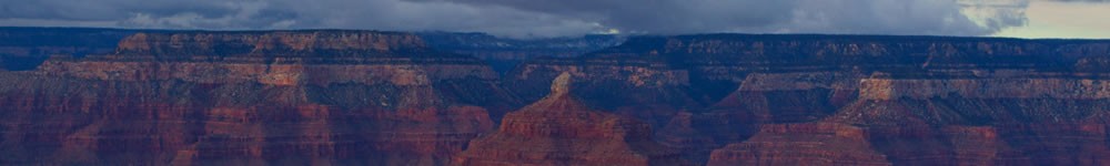
Rock faces higher than any skyscraper and mesas reminiscent of the Colorado Plateau I call home impose themselves on the sage flats. The monoliths cover the unpopulated highway span between Lake Abert and Alkali Lake Station, which sits on the dry shores of a smaller alkali flat.
North of Burns along Highway 395, you’ll travel through vast parks and meadows flat and wide, where trackless ranches spread in seamless weavings back to low, pined hills. The passes through the uplands drop in elevation as you stream north down the lonely road, following river valleys steeped with ponderosa. The river bend in one set of hills seems identical to the last.
You’ll eventually spit out into coulees hidden between treeless hills. A rare cottonwood gathers in the folds between the gigantic, mounded fells. The farmscape seem almost like simulations in a Wii background, or like Tolkien’s shire.
Eventually, you’ll reach the Washington state line, where the stench of inland ports along the Columbia and of agriculture on a massively leveraged scale will steal and steel your nose against scents less offending.
But the ride there’s beautiful, baby. Just take Highway 395 all the way.
© 2015 by Michael C. Just